Natural Bridges + Leprechaun Canyon

Natural Bridges National Monument

The next day, we left the hotel around 6:30am to catch sunrise at Corona Arch in Moab before driving down to Natural Bridges National Monument. We were surprised to find ourselves the only visitors to the arch! And boy, was this a beautiful arch! You could go under and around the arch to truly appreciate its size.
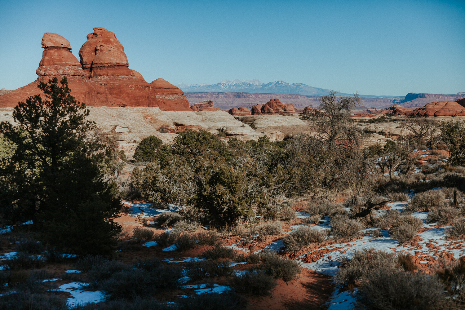
IMG_0676.jpg
IMG_0677.jpg
IMG_0681.jpg
Bowtie Arch.

Bowtie Arch.

IMG_0692.jpg
The incredible Corona Arch. No coronavirus found at this arch.
IMG_0707.jpg

We continued on to Natural Bridge National Monument, catching a view of Bears Ears National Monument along the way.

Natural Bridges features 3 bridges, each of which is very unique. The first bridge, Sipapu, is the second-largest natural bridge in the United States, with Rainbow Bridge at Lake Powell taking the lead. We weren’t able to hike all the way down to the base of Sipapu because the slick rock trail was covered in ice, but we ventured most of the way down to get a sense of its scale. We couldn’t help but feel like we were in the middle of a Star Wars movie.

Sipapu Bridge – not optimal lighting, but Star Wars-ian none-the-less.

The middle bridge, Kachina, has a much smaller opening, while the third bridge, Owachomo, has an enormous opening with a very thin crest. We had no problems visiting the bases of those bridges thanks to the trails being more southern-facing, allowing the sun to melt off any snow and ice.

Kachina Bridge from the overlook.
Kachina Bridge up close.
Owachomo Bridge.
IMG_0736.jpg


Leprechaun Canyon

From Natural Bridges National Monument, we drove 95 northwest, which was an incredible drive in its own right. The drive was one of those things that no video or photo could ever possibly capture – you simply have to be there, experiencing it and watching each monolith come into view. If you find yourself in southeastern Utah, I highly recommend the drive on 95 between Natural Bridges and Hanksville.

IMG_0739.jpg
IMG_0740.jpg

Before the sun vanished for the evening, we stopped at Leprechaun Canyon; an unassuming slot canyon with no sign and a minimal dirt parking area. It was one of those places I had saved on Pinterest years ago in case I was ever in the area – which happened to be this day.

The trail to the canyon felt a bit like a wild goose chase. There were no markers, you were kind of guessing where you were going based on the compass, and you were definitely wondering when the heck a canyon would just randomly appear. Trudging through sand and tall grass (great combo), we doubted ourselves often, especially as we watched the sun sink lower and lower. The 4:30pm winter sunset did not care about our slot canyon adventures.

But then suddenly, the ground transitioned from coarse sand to smooth orangey-red rock. We rounded the corner, hearing our voices echoing, and there it was; the mouth of the canyon.

Leprechaun Canyon was, by far, one of the highlights of our entire trip. We saw a small group of super friendly climbers who were leaving as we approached, which gave us the entire canyon to ourselves. It wasn’t the biggest canyon in the world (length, height, width-wise), but it was mesmerizing none-the-less.

IMG_0755.jpg
 
IMG_0756.jpg
IMG_0764.jpg

Sections of the canyon were darker and narrower, while others were more open and brighter. As you make your way to the furthest point of the canyon, it becomes incredibly dark and narrow – too small for a human. We turned around after getting our fill of photos and made it back to the car just as dusk started to arrive.

IMG_0765.jpg
IMG_0790.jpg

Tomorrow, we would wake up to Capitol Reef National Park.

Canyonlands: The Needles District

The sheer size of Canyonlands National Park is pretty incomprehensible. For hours in every direction, you’re surrounded by monoliths, cliffs, plateaus, and geological formations (to name a few). And then somewhere between all those things, both the Green River and the Colorado River ebb and flow, cutting the Earth’s crust for an unfathomable amount of time.

About an hour and a half outside of Moab sits The Needles District; a section of Canyonlands National Park known for its enormous grouping of Cedar Mesa Sandstone spires. It’s a much lesser-visited part of the park than Island in the Sky due to being much more remote.

We had decided to do the Chesler Park Loop Trail; a moderate 10.5mi loop where one side meandered through sandstone spires and the other side cut through slot canyons.

IMG_0600.jpg
IMG_0659.jpg
IMG_0606.jpg
IMG_0620.jpg
IMG_0627.jpg
IMG_0642.jpg

The slot canyons were for sure the most exciting part of the hike, but the sandstone spires were pretty other-worldly in their own right. And throughout the hike, we could spot Island in the Sky in the distance, trying to wrap our head around the sheer magnitude of the park. In the desert, everything seems so close.

Light reflecting on slot canyon walls is one of my favorite things.
IMG_0645.jpg
 
IMG_0648.jpg
IMG_0656.jpg
IMG_0668.jpg
IMG_0669.jpg
IMG_0675.jpg

Tomorrow, we would hit the road to Natural Bridges National Monument and Leprechaun Canyon.

Canyonlands + Dead Horse Point State Park

Canyonlands + Dead Horse Point State Park

We woke up several hours before sunrise, on a mission to witness the infamous Mesa Arch sun-star morning show. I had heard stories that mobs of photographers set up long before sunrise to get the iconic shot, but I didn’t know what to expect on a 0°F day in the midst of a national holiday and a global pandemic. I’m someone who prefers an awesome shot of a not-so-famous spot, but I will always still try to get the iconic shot if given the chance – just to say I did it and have the picture to show.

We were the second car to pull into the parking lot with a series of headlights trailing us. Everyone sat in their car waiting in the pitch black. It was about -5 degrees outside with windchill and not a trace of light in the sky. We sat in the car for about 10mins, defrosting in the heat for as long as possible.

Finally, the first person started the hike and we knew that was our queue. We packed up our gear and headed out on the trail.

Arches National Park

Arches National Park

We visited Arches National Park on our first day of the trip since it’s the closest park to Moab. We started the day watching the first pastel colors of the morning reach slowly across the monoliths like a paintbrush dragging a gradient of color across the land. The oranges became richer in color as the light reached over the horizon and splashed its rays onto the park floor.

Hiking the John Muir Trail (Part 3)

Hiking the John Muir Trail (Part 3)

As I work my way through editing my photos from the JMT, I’m simultaneously reading John Muir’s Wilderness Essays. It’s not entirely about the Sierras, but his thoughts and feelings about Mother Nature certainly cause me to romanticize about the JMT. John Muir never knew the trail named in his honor, a trail that’s so highly sought and well-revered by the hiking community. He forged his own paths to the tops of mountains and loved every inch of the wild that his eyes laid sight on. His curiosity knows no boundaries and it is that very same curiosity that brought my own self to the Eastern Sierra.